Mount Kilimanjaro FAQ (People Also Ask)
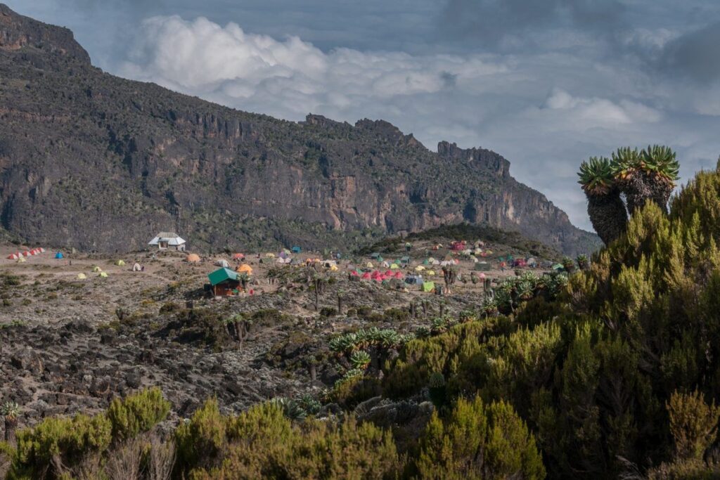
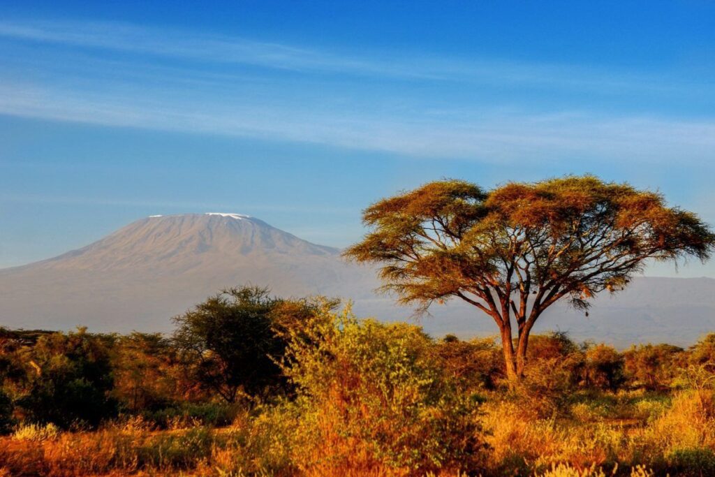
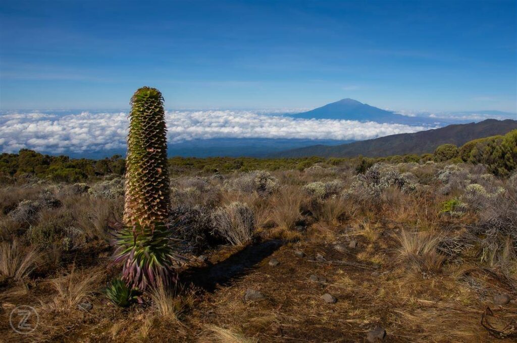
Mount Kilimanjaro National Park protects Africa’s highest mountain, a UNESCO World Heritage Site known for its unique ecosystems and iconic summit, Uhuru Peak. Climbers experience five climate zones in one trek, making Kilimanjaro one of the most diverse and rewarding hiking destinations in the world.
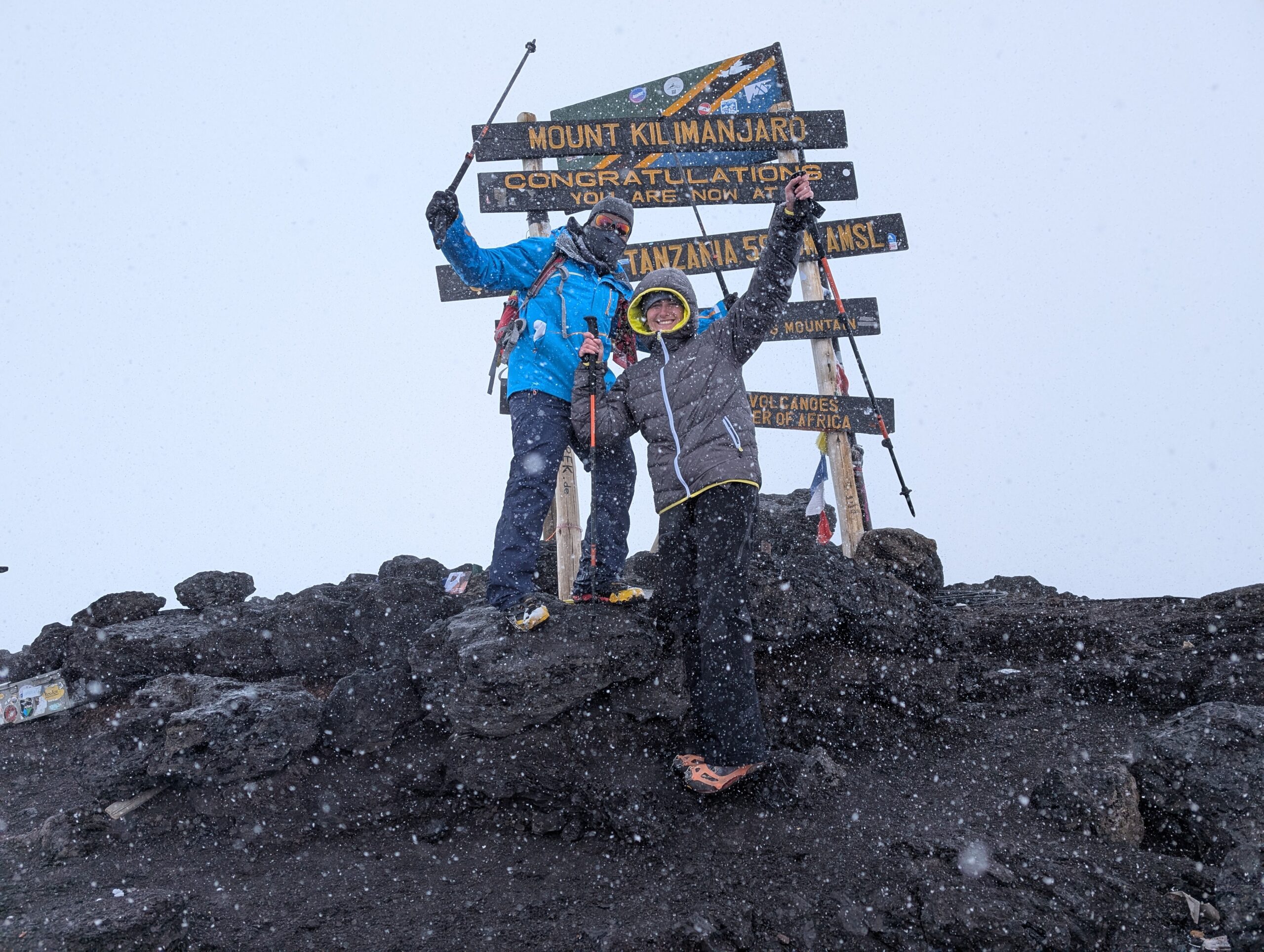
What is Mount Kilimanjaro?
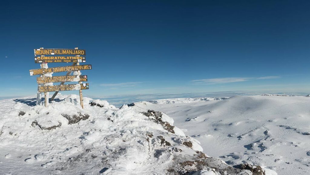
Mount Kilimanjaro is Africa’s highest mountain, standing at 5,895 meters (19,341 feet) above sea level in Tanzania. It is a free-standing volcanic mountain with three cones: Kibo, Mawenzi, and Shira. Kilimanjaro is one of the world’s most popular trekking destinations.
Where is Mount Kilimanjaro located?
Mount Kilimanjaro is located in northeastern Tanzania, near the Kenya border. It lies within Mount Kilimanjaro National Park and is close to the town of Moshi. The mountain is a major турист attraction and one of Africa’s most iconic natural landmarks.
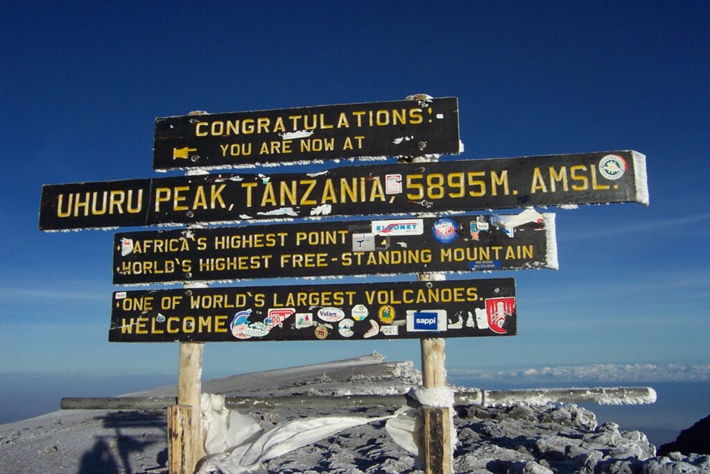
How high is Mount Kilimanjaro?
Mount Kilimanjaro is 5,895 meters (19,341 feet) tall, making it the highest mountain in Africa and the tallest free-standing mountain in the world. Its summit, Uhuru Peak, is located on the Kibo volcanic cone.
Can beginners climb Mount Kilimanjaro?
Yes, beginners can climb Mount Kilimanjaro without technical climbing skills. However, it is a physically demanding trek that requires good fitness, mental preparation, and proper acclimatization. Choosing longer routes increases success rates and reduces altitude sickness risk.
How long does it take to climb Mount Kilimanjaro?
Climbing Mount Kilimanjaro typically takes 5 to 9 days, depending on the route. Longer routes like Lemosho and Northern Circuit allow better acclimatization and have higher summit success rates compared to shorter routes like Marangu.
What is the best time to climb Mount Kilimanjaro?
The best time to climb Mount Kilimanjaro is during the dry seasons: January to March and June to October. These months offer clearer skies, less rain, and better trekking conditions, though they are also the busiest periods.
How much does it cost to climb Mount Kilimanjaro?
Climbing Mount Kilimanjaro typically costs between $1,500 and $5,000 per person. Prices vary based on route, duration, guide quality, group size, and included services such as park fees, porters, meals, and accommodation.
Do you need a guide to climb Mount Kilimanjaro?
Yes, Tanzanian regulations require all climbers to be accompanied by a licensed guide. Independent trekking is not allowed in Mount Kilimanjaro National Park, ensuring safety and supporting local employment through guides and porters.
What are the main routes on Mount Kilimanjaro?
The main Kilimanjaro routes include Marangu, Machame, Lemosho, Rongai, Shira, and Northern Circuit. Each route varies in scenery, difficulty, acclimatization profile, and success rate, with Machame and Lemosho being among the most popular choices.
Which Kilimanjaro route is the easiest?
The Marangu Route is often considered the easiest due to its gradual slope and hut accommodations. However, it has a lower success rate due to shorter acclimatization time compared to routes like Lemosho and Northern Circuit.
What is the success rate of climbing Mount Kilimanjaro?
The average success rate for climbing Mount Kilimanjaro ranges from 60% to 85%, depending on the route and duration. Longer routes with better acclimatization, such as Lemosho and Northern Circuit, tend to have higher summit success rates.
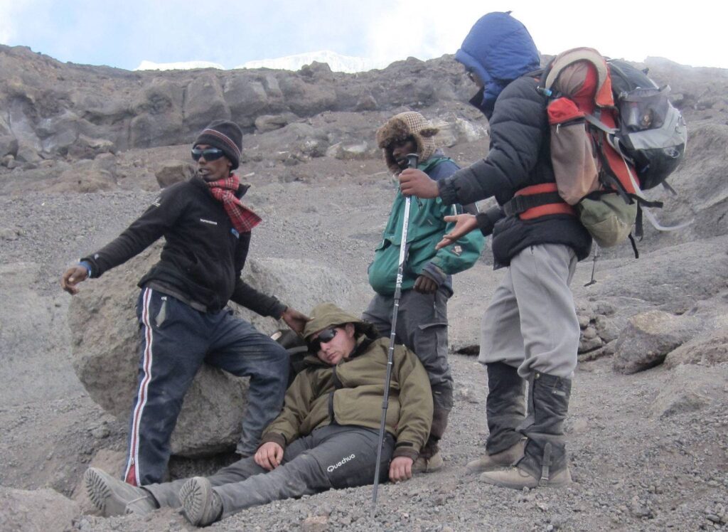
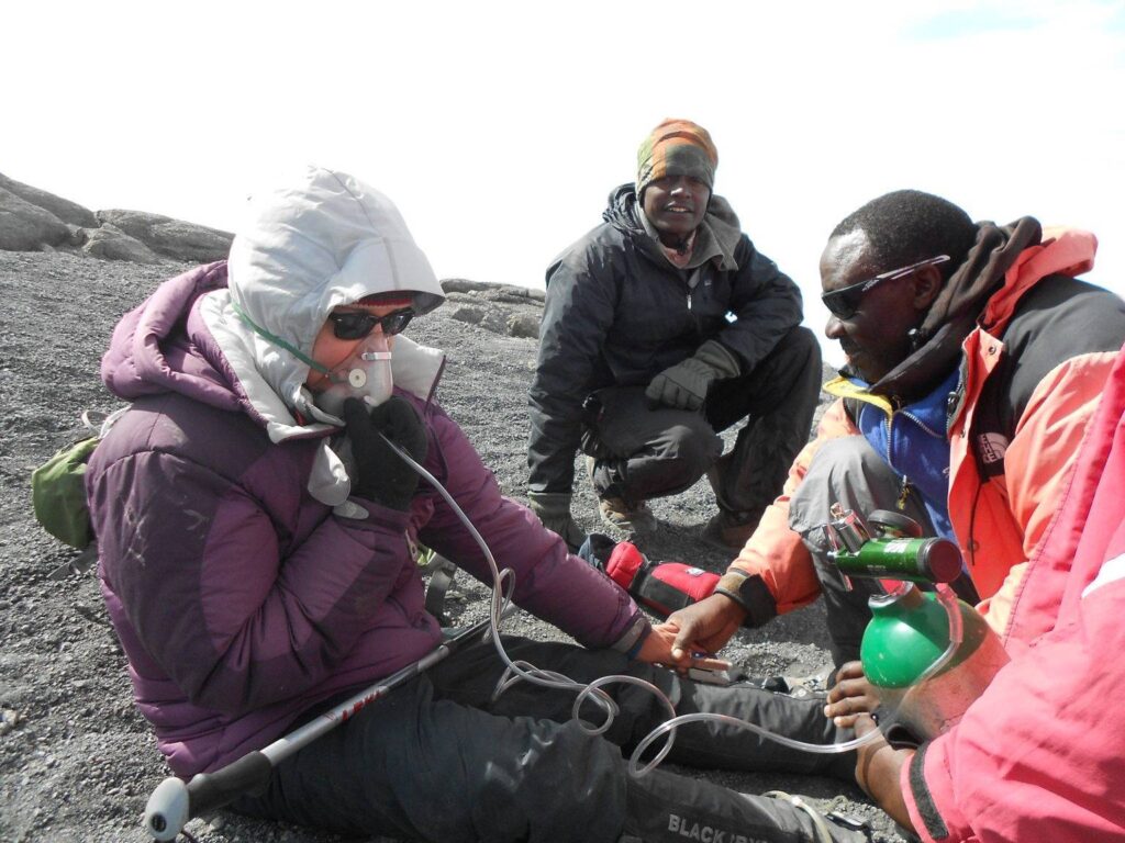
What is altitude sickness on Mount Kilimanjaro?
Altitude sickness occurs when the body struggles to adapt to reduced oxygen levels at high elevations. Symptoms include headaches, nausea, dizziness, and fatigue. Proper acclimatization, hydration, and slow ascent are key to preventing severe altitude sickness.
Do you need oxygen to climb Mount Kilimanjaro?
Most climbers do not need supplemental oxygen to climb Mount Kilimanjaro. The trek is designed for gradual acclimatization. However, emergency oxygen is carried by guides as a safety precaution in case of severe altitude sickness.
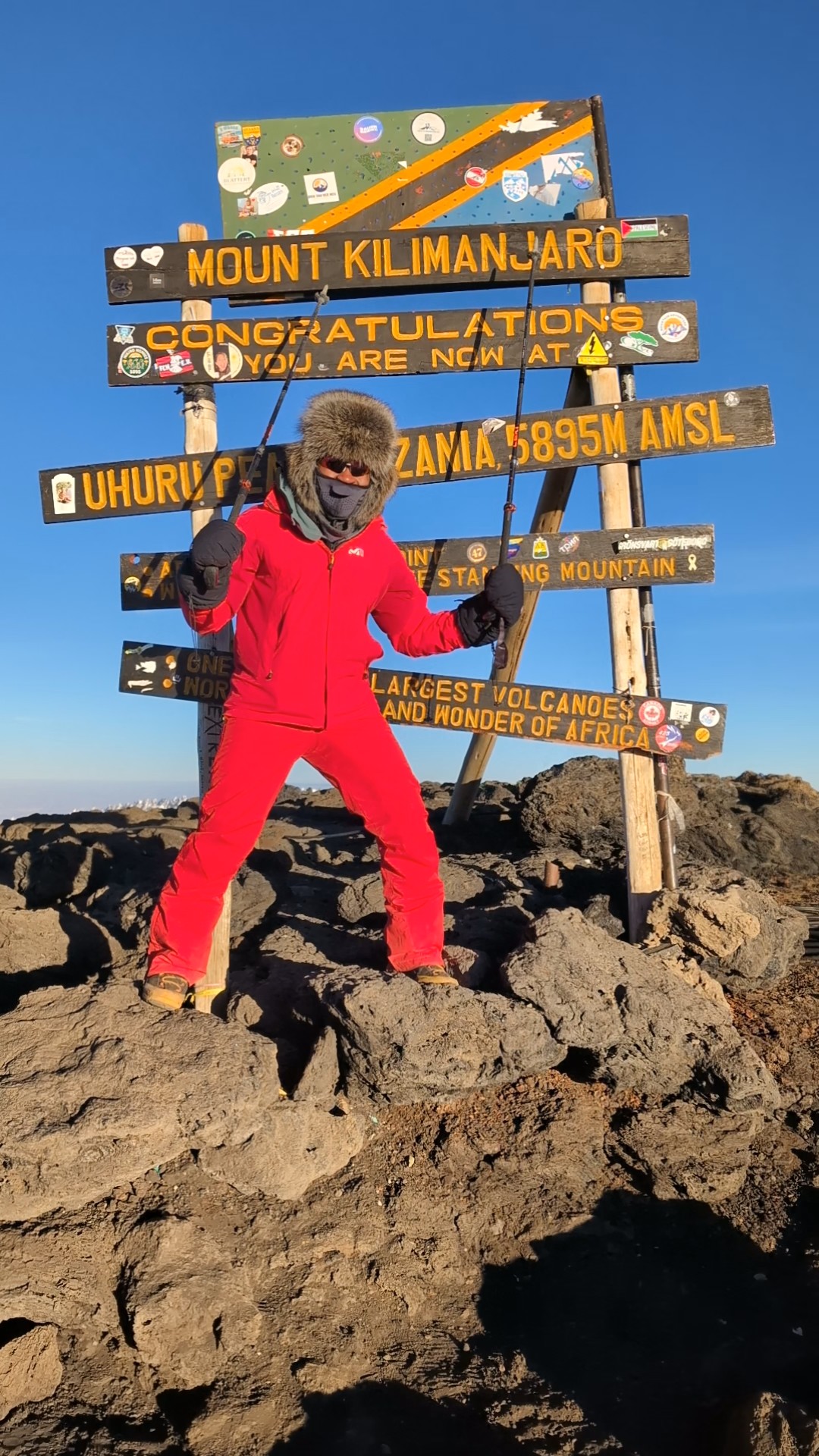
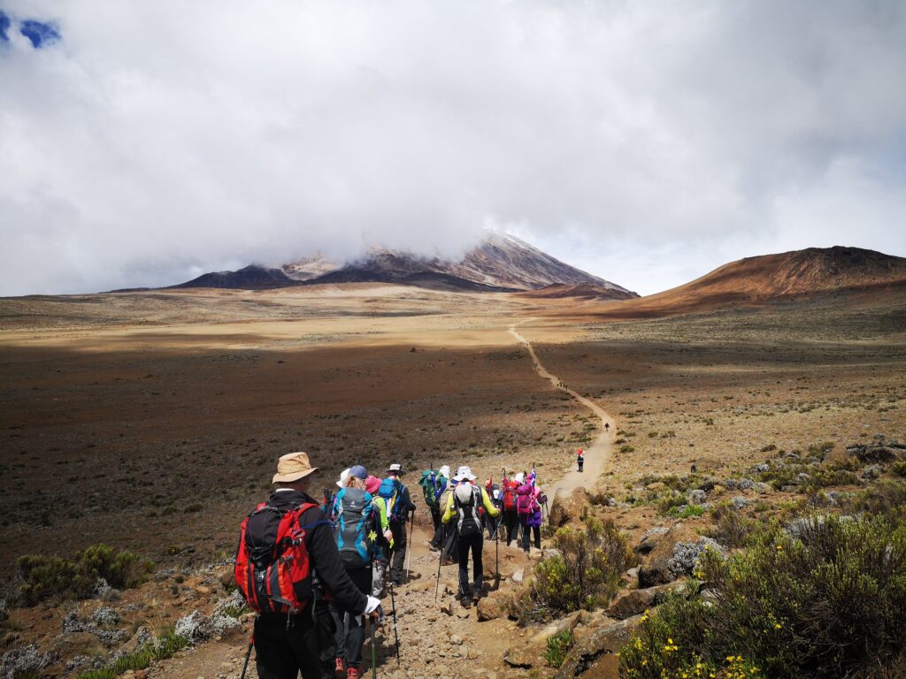
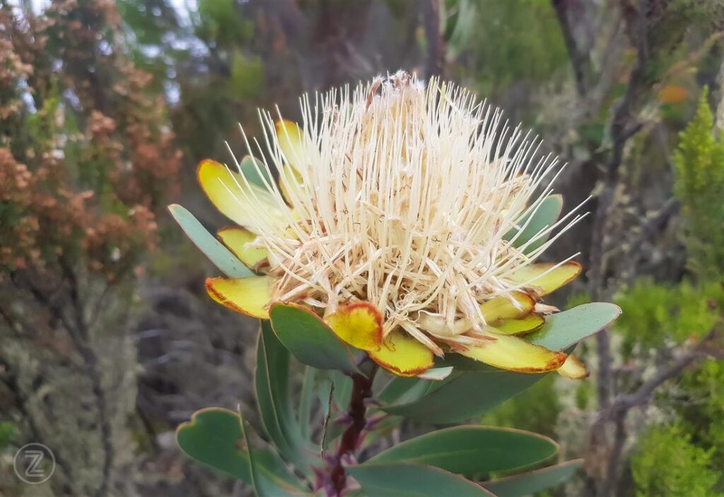
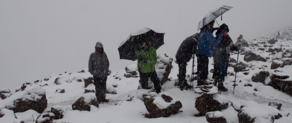
How cold is Mount Kilimanjaro?
Temperatures on Mount Kilimanjaro vary widely, ranging from 20–30°C at the base to -10°C to -20°C at the summit. Climbers experience multiple climate zones, including rainforest, alpine desert, and arctic conditions near the peak.
Is Mount Kilimanjaro dangerous?
Mount Kilimanjaro is considered relatively safe compared to technical mountains, but risks include altitude sickness, extreme weather, and exhaustion. Proper preparation, a reputable guide company, and a slow ascent significantly reduce risks.
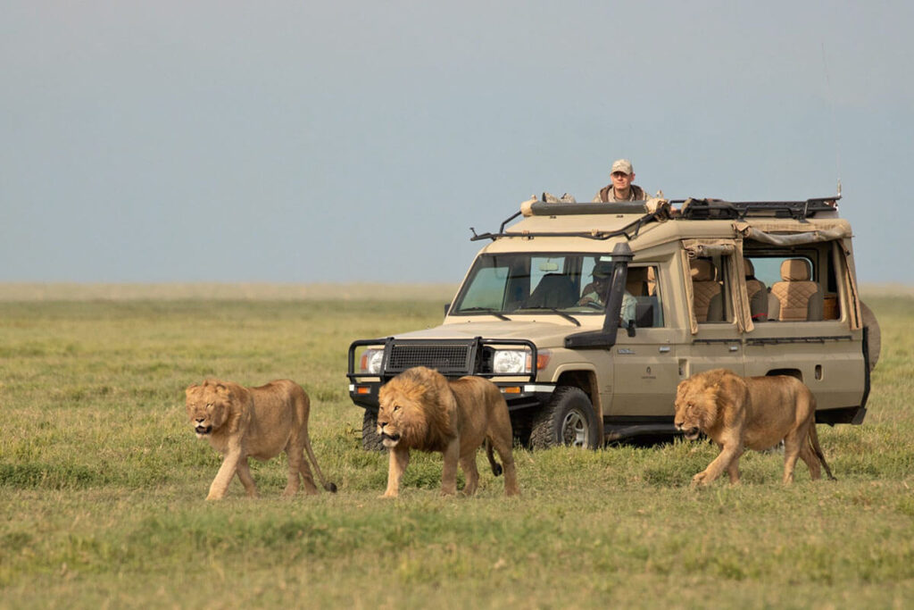
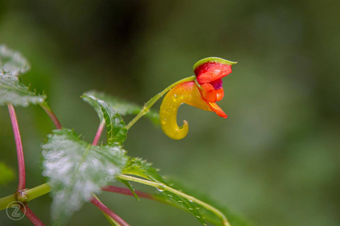
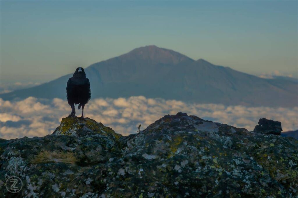
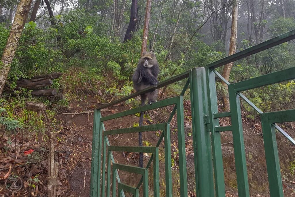
What animals live on Mount Kilimanjaro?
Mount Kilimanjaro is home to various wildlife, especially in the lower rainforest zone. Animals include colobus monkeys, elephants, buffalo, and leopards. However, wildlife sightings during climbs are relatively rare.
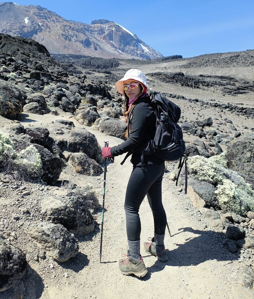
What should you pack for Mount Kilimanjaro?
Essential items include layered clothing, waterproof gear, hiking boots, sleeping bag, headlamp, gloves, hat, sunscreen, and a daypack. Proper gear is crucial for comfort and safety due to changing weather conditions.
Do you need training to climb Mount Kilimanjaro?
Yes, physical training is recommended for climbing Mount Kilimanjaro. Cardiovascular fitness, strength, and endurance training improve your chances of reaching the summit and enjoying the trek safely.
Is Mount Kilimanjaro a volcano?
Yes, Mount Kilimanjaro is a dormant volcano composed of three cones: Kibo, Mawenzi, and Shira. Kibo is the highest and contains the summit, Uhuru Peak. While dormant, it is not considered extinct.
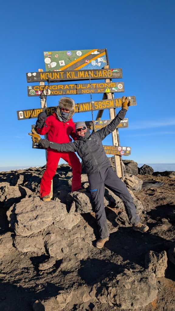
What is Uhuru Peak?
Uhuru Peak is the highest point on Mount Kilimanjaro at 5,895 meters (19,341 feet). It is located on the Kibo crater rim and is the ultimate goal for climbers attempting to summit Africa’s highest mountain.
Do you need a visa to climb Mount Kilimanjaro?
Most travelers need a Tanzanian visa to climb Mount Kilimanjaro. Visas can be obtained online or on arrival, depending on nationality. Always check current immigration requirements before traveling.
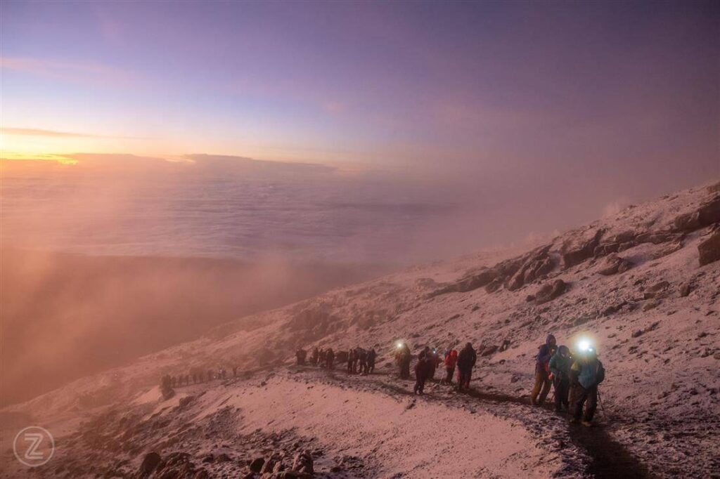
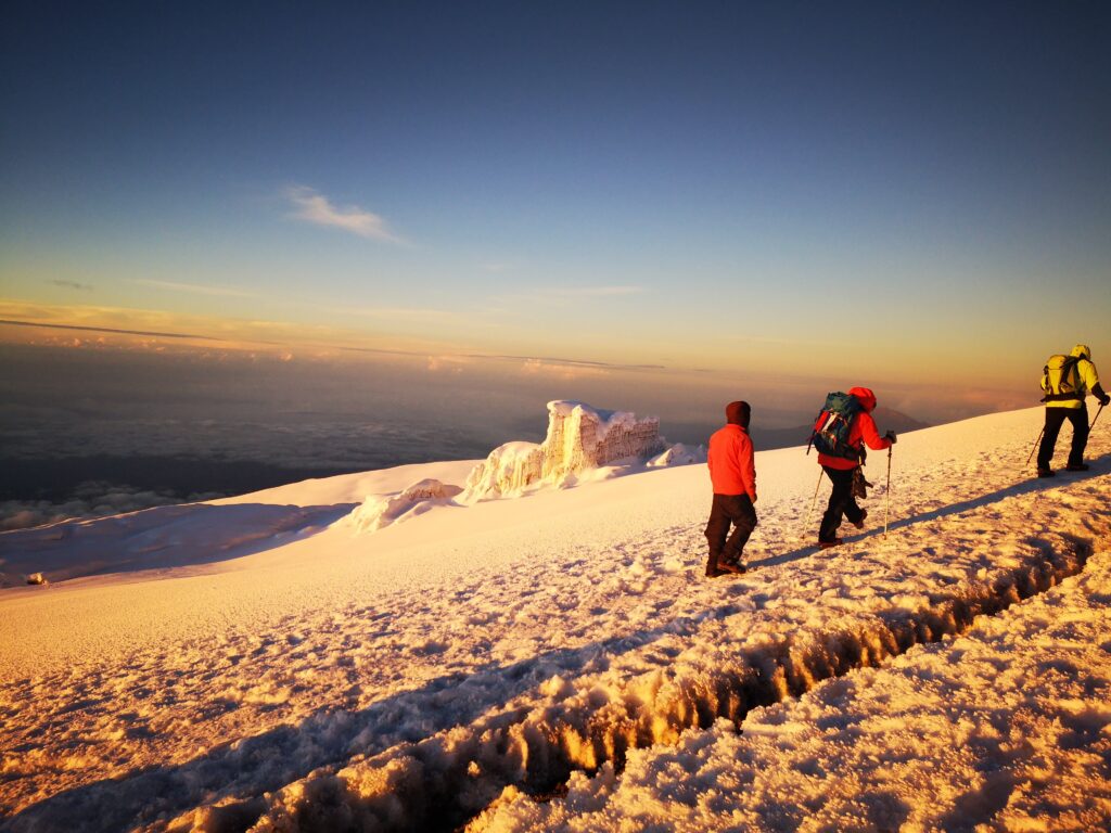
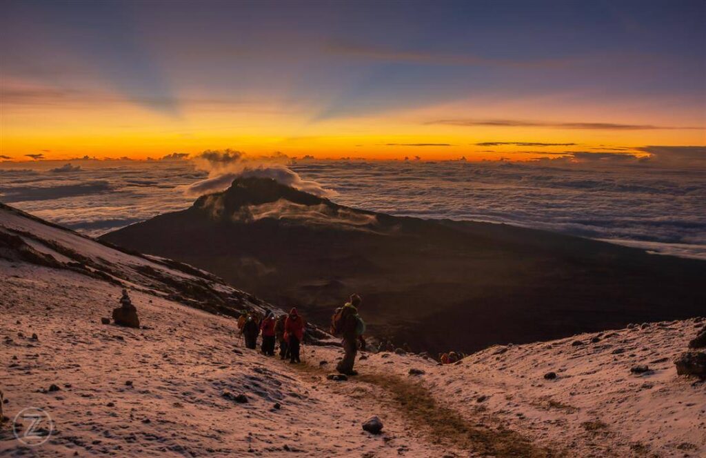
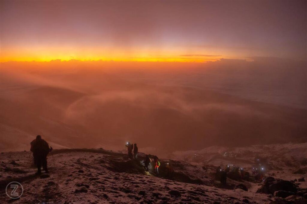
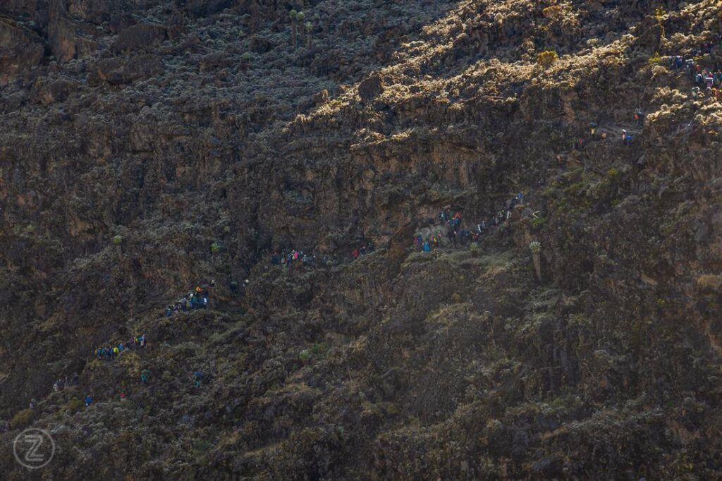
What is the hardest part of climbing Mount Kilimanjaro?
The hardest part is summit night, when climbers ascend in darkness, cold temperatures, and high altitude. Fatigue and low oxygen levels make this section physically and mentally challenging.
Can you climb Mount Kilimanjaro without experience?
Yes, you can climb Mount Kilimanjaro without prior mountaineering experience. However, preparation, fitness, and choosing the right route are essential for success and safety.
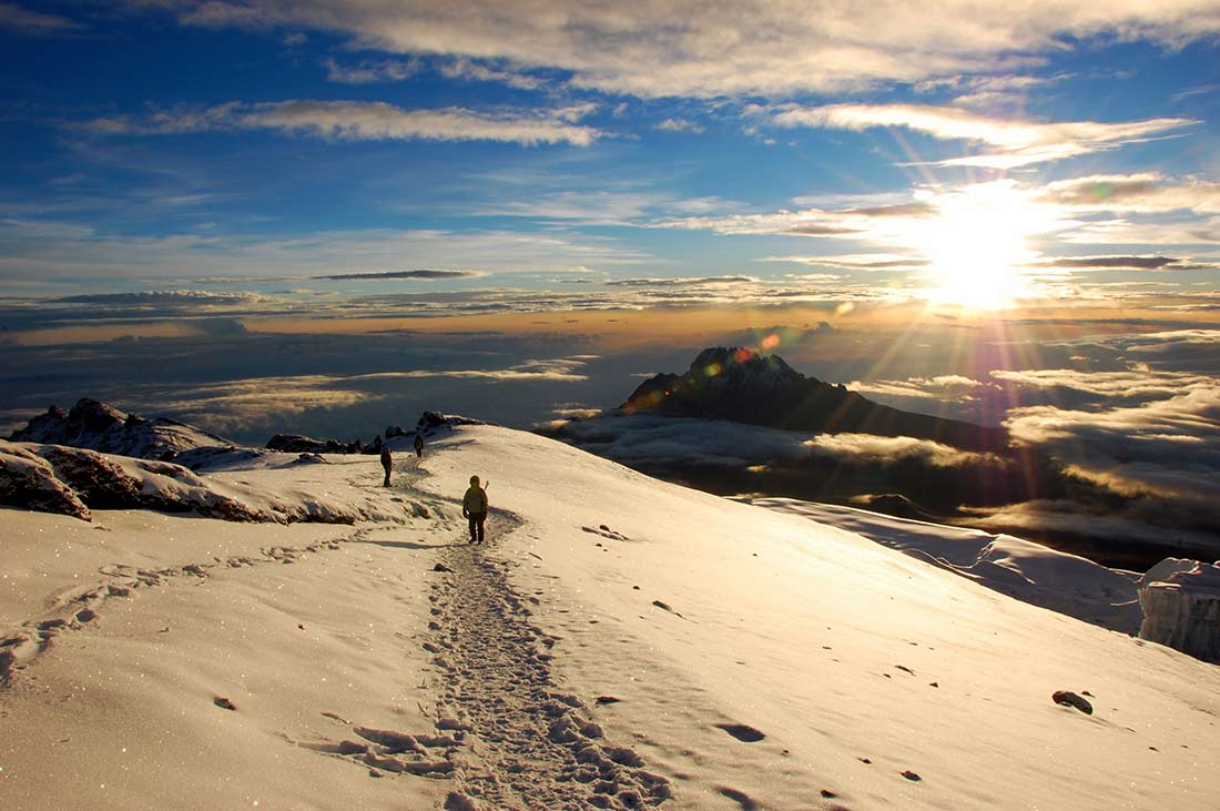
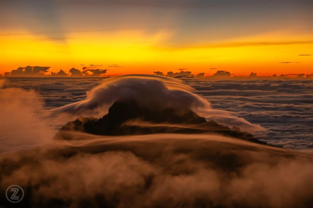
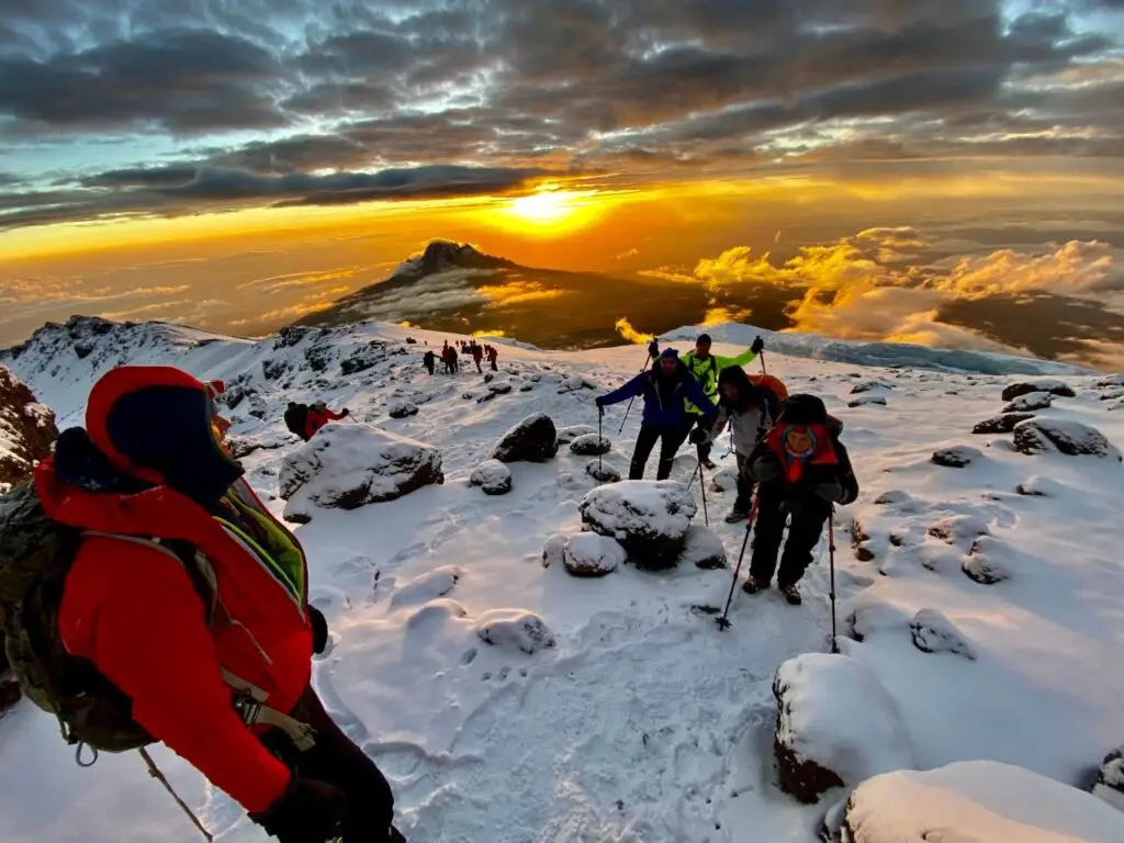
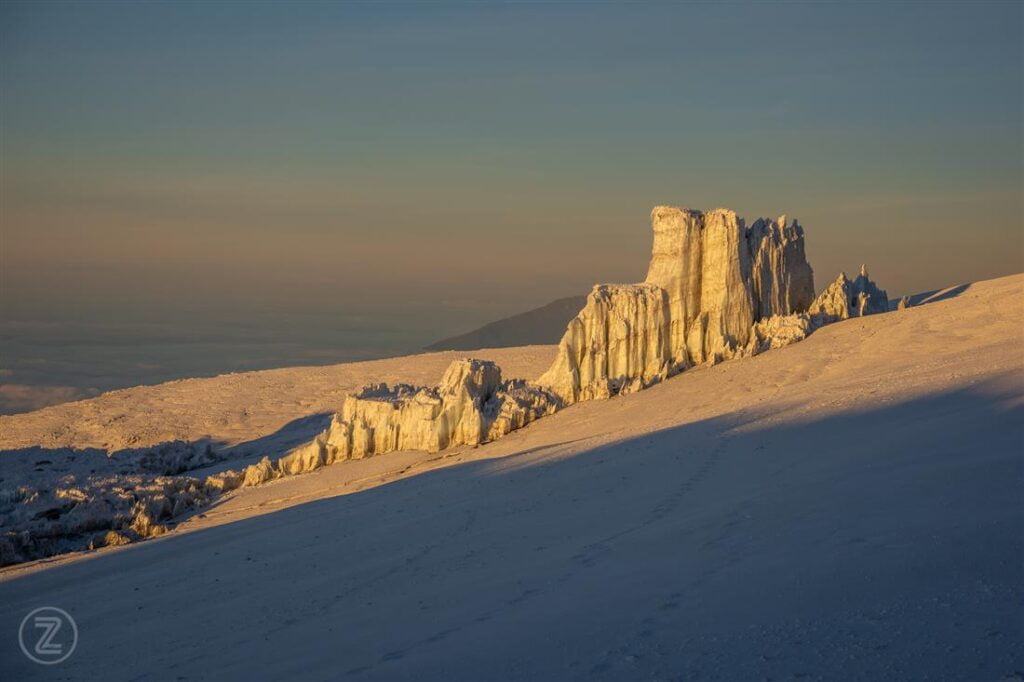
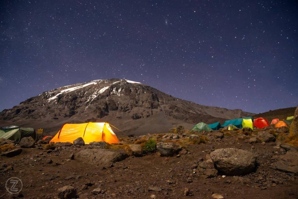
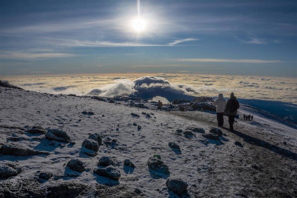
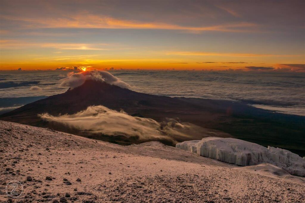
Is there snow on Mount Kilimanjaro?
Yes, Mount Kilimanjaro has glaciers and snow at the summit, although they have been shrinking due to climate change. Snow is most visible near Uhuru Peak.
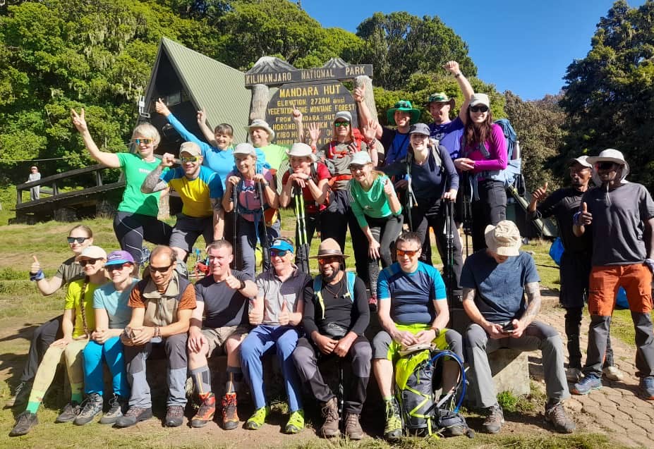
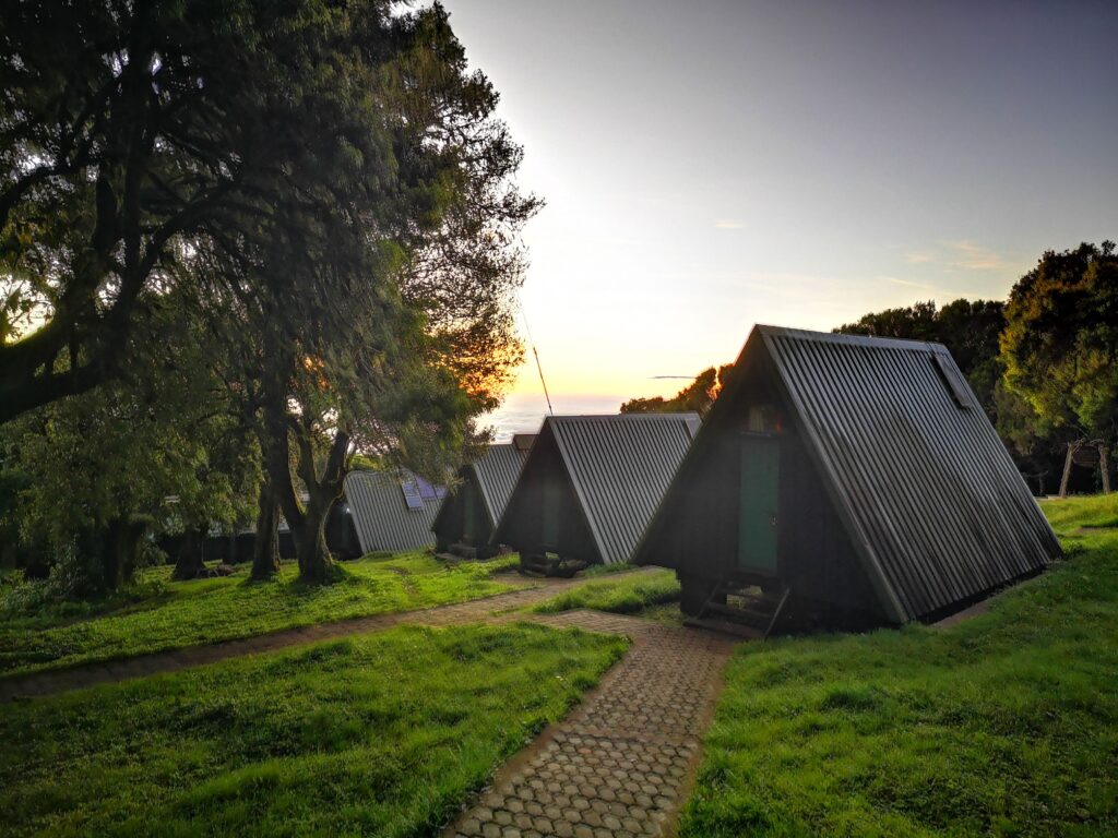
What is the Marangu Route?
The Marangu Route is one of the oldest Kilimanjaro routes and is known as the “Coca-Cola Route.” It offers hut accommodations instead of camping and is typically completed in 5–6 days.
What is the Machame Route?
The Machame Route is a popular scenic route known as the “Whiskey Route.” It offers excellent acclimatization and diverse landscapes, making it one of the most successful routes for reaching the summit.
What is the Lemosho Route?
The Lemosho Route is considered one of the best routes for acclimatization and scenery. It is longer, less crowded at the start, and offers a high summit success rate.
What is the Northern Circuit Route?
The Northern Circuit is the longest Kilimanjaro route, offering excellent acclimatization and the highest success rates. It circles the mountain and provides diverse views with fewer crowds.
What is the Rongai Route?
The Rongai Route approaches Mount Kilimanjaro from the north near Kenya. It is quieter and drier than southern routes, making it a good option during rainy seasons.
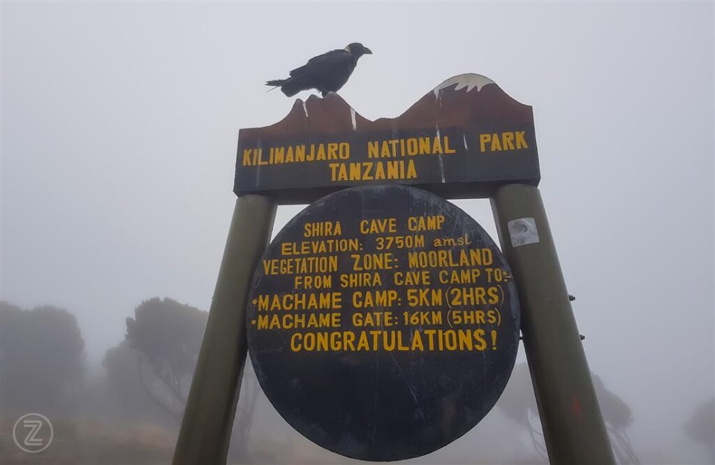
What is the Shira Route?
The Shira Route starts at a higher altitude on the Shira Plateau. It offers beautiful scenery but is less ideal for acclimatization compared to Lemosho.
Can you climb Mount Kilimanjaro solo?
No, solo climbing is not allowed on Mount Kilimanjaro. All climbers must be accompanied by a licensed guide under Tanzanian law.
How do you prevent altitude sickness on Kilimanjaro?
To prevent altitude sickness, climb slowly, stay hydrated, eat well, and choose longer routes. “Pole pole” (slowly slowly) is the key principle followed by guides.
What does “pole pole” mean on Kilimanjaro?
“Pole pole” is a Swahili phrase meaning “slowly slowly.” It is commonly used by guides to encourage a slow pace, which helps climbers acclimatize and reduces the risk of altitude sickness.
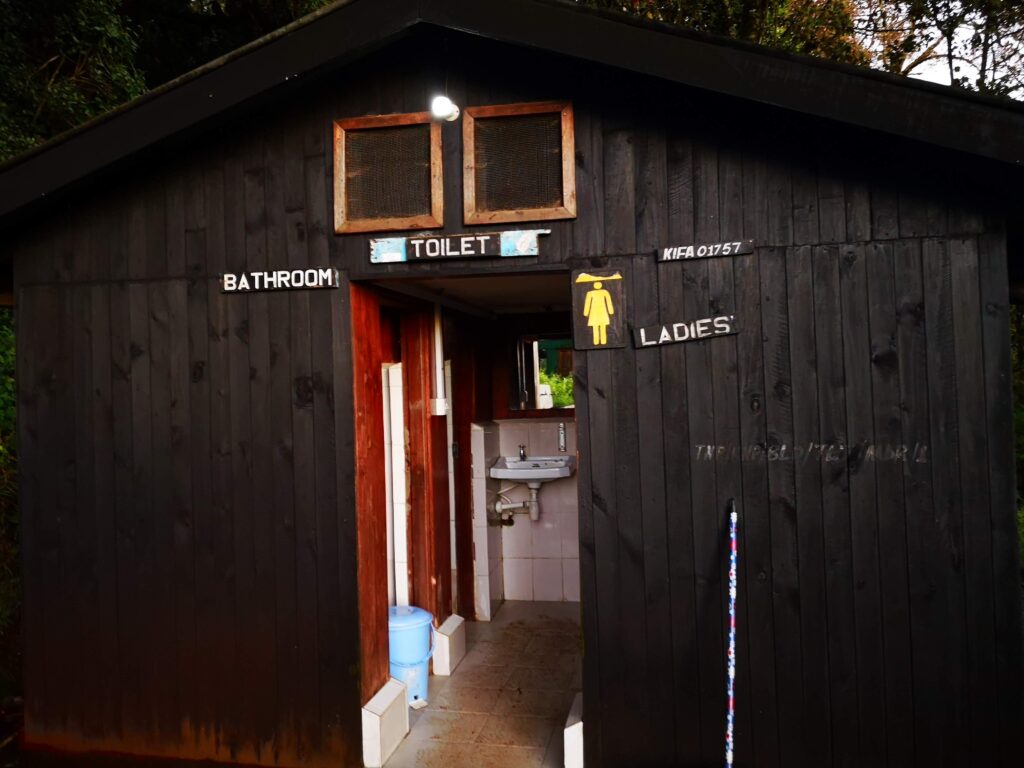
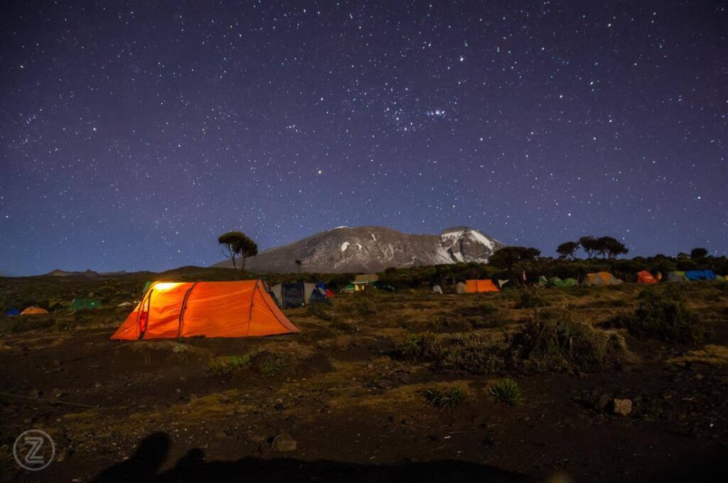
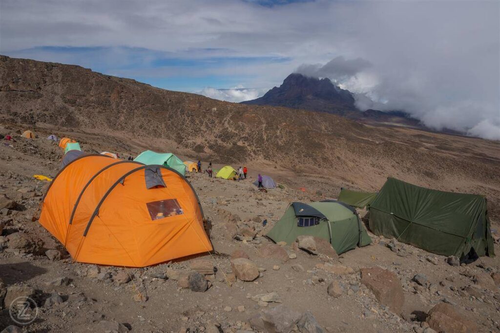
Are there toilets on Mount Kilimanjaro?
Basic toilets are available at camps, but conditions vary by route. Some operators provide portable toilets for added comfort during the climb.
Can you shower on Mount Kilimanjaro?
No, there are no shower facilities during the climb. Climbers use wet wipes and limited water for hygiene throughout the trek.
What do you eat on Mount Kilimanjaro?
Climbers are served nutritious meals including soups, rice, pasta, vegetables, fruits, and meats. High-energy foods help maintain strength at high altitude.
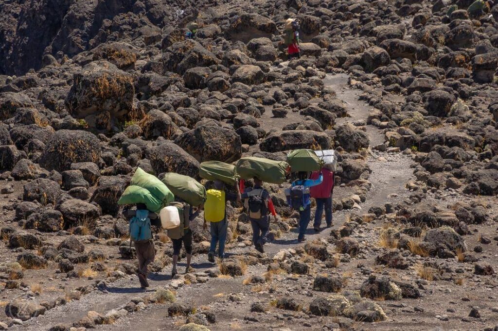
How much weight do porters carry on Kilimanjaro?
Porters typically carry loads of up to 20 kilograms (44 pounds), following ethical guidelines set by the Kilimanjaro Porters Assistance Project (KPAP).
Is tipping expected on Mount Kilimanjaro?
Yes, tipping is customary and an important part of porter and guide income. Recommended tips vary but are usually shared among the support team.
What fitness level is needed for Kilimanjaro?
A moderate to high fitness level is required. You should be able to hike for several hours a day on varied terrain while carrying a daypack.
Can older people climb Mount Kilimanjaro?
Yes, older people can climb Mount Kilimanjaro if they are in good health and physically prepared. Age is less important than fitness and acclimatization.
Can kids climb Mount Kilimanjaro?
The minimum recommended age is 10 years old, though most successful climbers are older. Children must be physically fit and able to handle altitude conditions.
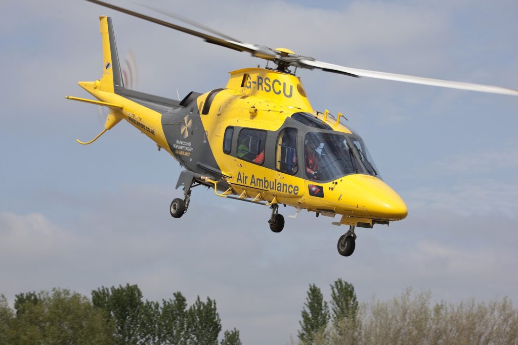
Is travel insurance required for Kilimanjaro?
Yes, travel insurance that covers high-altitude trekking and emergency evacuation is strongly recommended when climbing Mount Kilimanjaro.
How do you book a Kilimanjaro climb?
You can book a Kilimanjaro climb through licensed tour operators. Compare itineraries, inclusions, safety standards, and reviews before choosing a company.
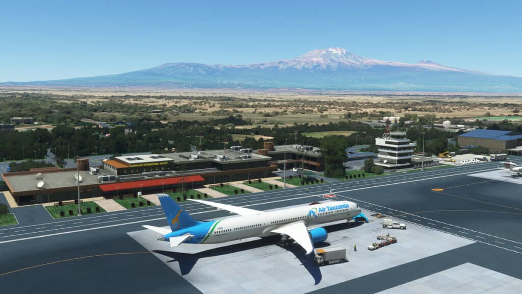
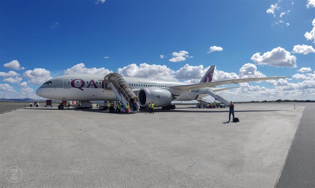
What airport do you fly into for Kilimanjaro?
Climbers typically fly into Kilimanjaro International Airport (JRO), located near Moshi and Arusha. It is the main gateway for Mount Kilimanjaro treks.
How far in advance should you book Kilimanjaro?
It is best to book 3–6 months in advance, especially during peak seasons. Early booking ensures availability of preferred routes and experienced guides.
Is Mount Kilimanjaro worth it?
Yes, Mount Kilimanjaro is considered one of the most rewarding trekking experiences in the world. Its diverse landscapes, accessibility, and iconic summit make it a bucket-list adventure.
Why is Mount Kilimanjaro famous?
Mount Kilimanjaro is famous for being Africa’s highest mountain and the tallest free-standing mountain in the world. Its snow-capped summit near the equator makes it unique and globally recognized.
How many people climb Mount Kilimanjaro each year?
Approximately 30,000 to 50,000 people attempt to climb Mount Kilimanjaro each year, making it one of the most popular trekking destinations worldwide.
What languages are spoken on Kilimanjaro climbs?
Guides commonly speak English and Swahili. Many also speak additional languages such as French, German, and Spanish to accommodate international climbers.
 {
Skip to content
{
Skip to content