
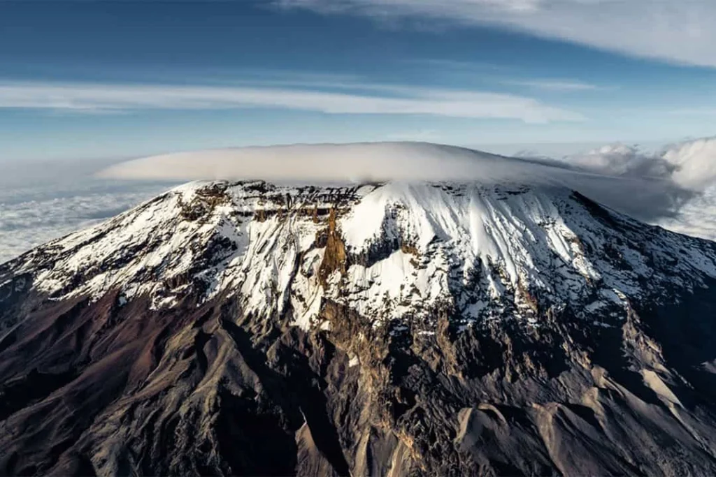
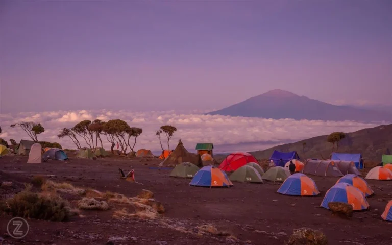
Lemosho Route Map
Follow the western approach across the Shira Plateau, continue beneath Kibo, then descend through the Mweka forest.
8 days · Camping
Explore Lemosho map ↗Explore the guide below, then plan your climb with our local team. Share your travel dates and group details for a personalised itinerary.
Request your itineraryExplore the western, southern, southeastern and northern approaches to Mount Kilimanjaro. Find the main camps, compare the trails and follow each route from the forest to Uhuru Peak and back down.
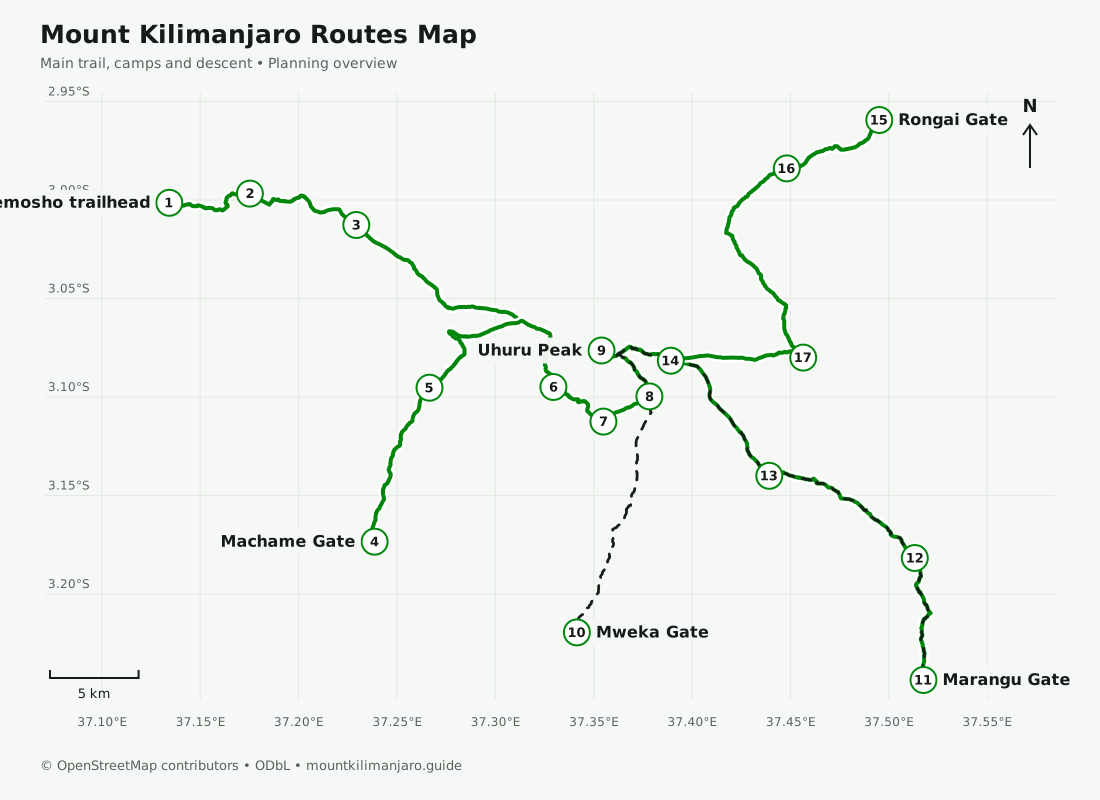
Planning maps, not a navigation service. Trails and approximate camp locations: © OpenStreetMap contributors, ODbL. Distances follow the displayed mapped paths and exclude optional walks. Elevations and walking times are approximate itinerary figures; confirm your final schedule with your guide.
Each map follows a specific itinerary, with daily stages, approximate distances, an elevation profile and photographs.
Follow the western approach across the Shira Plateau, continue beneath Kibo, then descend through the Mweka forest.
8 days · Camping
Explore Lemosho map ↗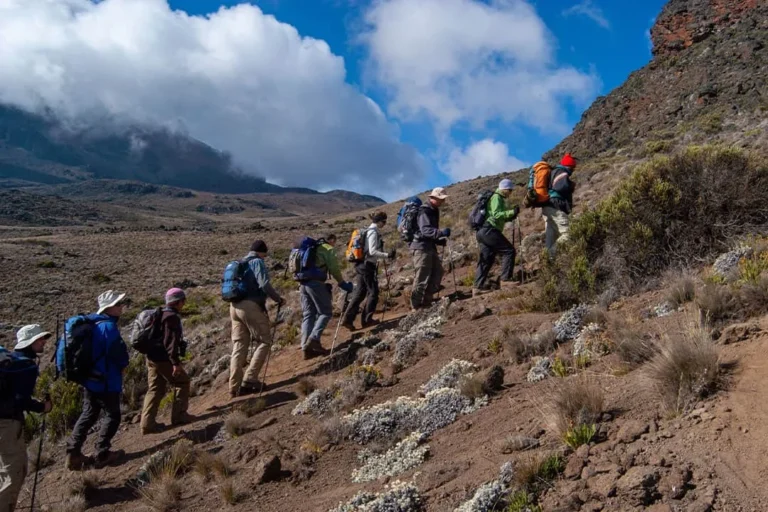
Trace the southern forest approach to Shira Cave, the traverse through Barranco and Karanga, and the summit via Barafu.
7 days · Camping
Explore Machame map ↗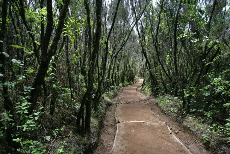
Follow the southeastern hut-to-hut trail through Mandara, Horombo and Kibo, returning along the same route after the summit.
6 days · Mountain huts
Explore Marangu map ↗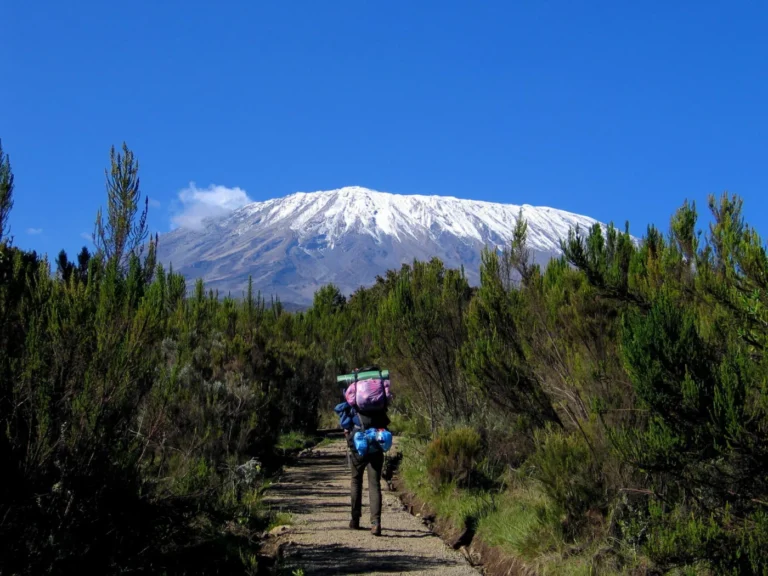
Approach from the northern slopes via the caves and Mawenzi Tarn, reach Kibo, then descend on the Marangu side.
7 days · Camping and huts
Explore Rongai map ↗Compare the trails, explore the photographs and choose an itinerary with our local team.
